
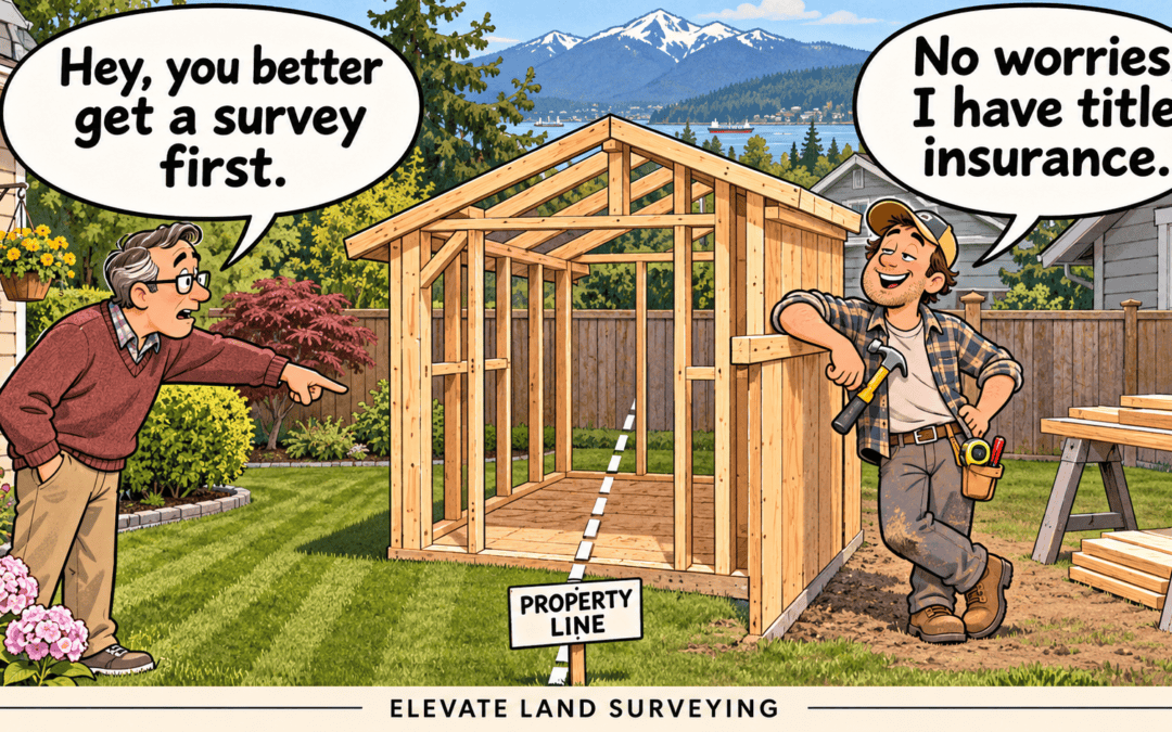
You have a title to your property and may have purchased title insurance when you bought it. So why would you still need a land survey?
Think of it like having life insurance. It provides financial protection, but it does not replace exercising and eating well to help prevent problems in the first place.
A similar distinction applies to your property. Title insurance can protect against certain financial losses, while a land survey helps establish your property boundaries, verify your lot area and identify potential encroachments. Having that information before replacing a fence, planning an addition or building a new home can help you avoid costly mistakes.
1.) What does your title tell you?
In British Columbia, your title identifies the registered owners, the property’s legal description and registered charges, such as mortgages, easements and covenants. The Land Title and Survey Authority explains these items in more detail.
The legal description connects your ownership to a particular parcel, often through a registered survey plan. However, the title itself does not show where your fence, driveway or house sits in relation to the property lines.
An easement may appear on title, but understanding where it lies on the ground and whether something has been built within it requires further review.
2.) What does title insurance cover?
Title insurance provides protection against financial losses from certain covered risks. Depending on the policy, these can include title fraud, defects in ownership and some existing encroachment issues. RBC’s explanation of title insurance outlines common examples.
Coverage depends on the policy’s terms and exclusions. Your lawyer or notary can explain what applies to your property.
Title insurance does not locate your property boundaries or check the position of buildings and fences. That requires a land survey. A boundary or encroachment issue can remain unidentified even when you have title insurance, and whether a resulting loss is covered depends on your policy.
3.) What can still be missed or fall outside coverage?
An existing driveway, shed or cleared yard may appear to be part of the property you are buying. Its location and history of use do not necessarily establish ownership or legal access.
Treadstone Law’s article on Ontario cottages adjoining Crown land illustrates this concern. Buyers may assume that surrounding land or an established access route is theirs to use without checking the boundary or the rights involved. For a BC property, the relevant records and access rights should be reviewed with your surveyor and legal adviser.
There is also a distinction between an existing problem and one created after purchase. If you build a garage or addition across a property line, you should not assume your title insurance will cover it. TitlePLUS specifically highlights this limitation.
4.) What does a land survey add?
A land survey provides clarity on where your property begins and ends, its dimensions and its area. These are basic facts about what you own, particularly important when buying a property or assessing what can be built on it.
A BC Land Surveyor reviews legal records, previous survey plans and evidence on the ground to establish the property boundaries. The appropriate survey plan can then provide a verified record of the parcel’s dimensions and area. This is especially valuable for older properties where the title contains exceptions or no single plan clearly describes the whole parcel.
Once the boundaries are established, buildings, fences and other improvements can be measured in relation to them. This can reveal encroachments and help determine the space available for proposed construction.
Title insurance does not establish those boundaries or provide a verified record of your property area. A survey gives you information you can use before buying, building or resolving a boundary concern.
We discuss these considerations further in Buying a property? Why get a land survey first. The LTSA also explains the purpose of land survey plans.
5.) Which survey would be useful for your property?
The appropriate survey depends on what you need to know.
Building location certificate: Shows existing buildings and their distances from property lines, and can highlight possible encroachments. It may also satisfy mortgage requirements, depending on what your lender requires.
Property line survey or posting plan: Helps locate and mark your property boundaries. Where legal markers are missing, a posting plan may be needed to document newly placed permanent markers. This is particularly useful before fencing or work close to a boundary. See why permanent legal markers matter.
Topographic survey: Provides site measurements for design and permit purposes, including elevations, buildings and other relevant features. If you are planning an addition, a new home or a larger development, this gives your architect and engineer information to work from. Our article on topographic surveys explains what should be considered.
If the existing records do not clearly establish the whole parcel’s dimensions and area, your surveyor can also advise whether a reference plan is appropriate.
At Elevate Land Surveying, we have a unique office model where our land surveyors answer client calls and general enquiries directly. If you are unsure which survey would be useful for your property, feel free to call 604-385-5571 or contact us.